
Marquette Mountain Falls
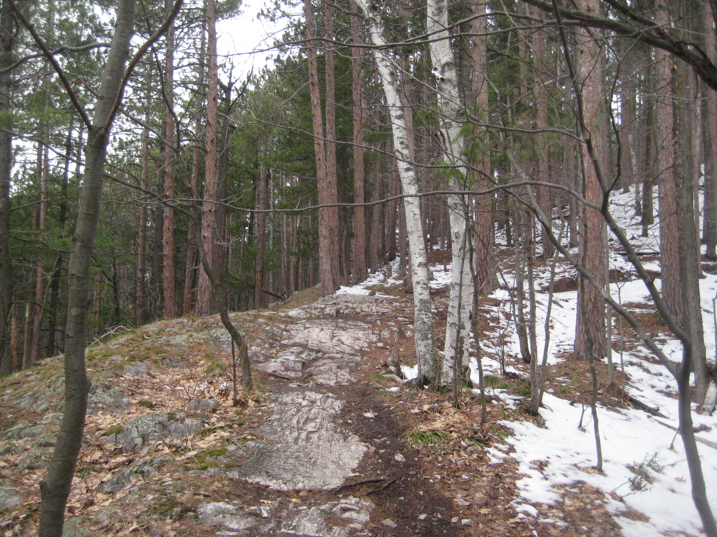
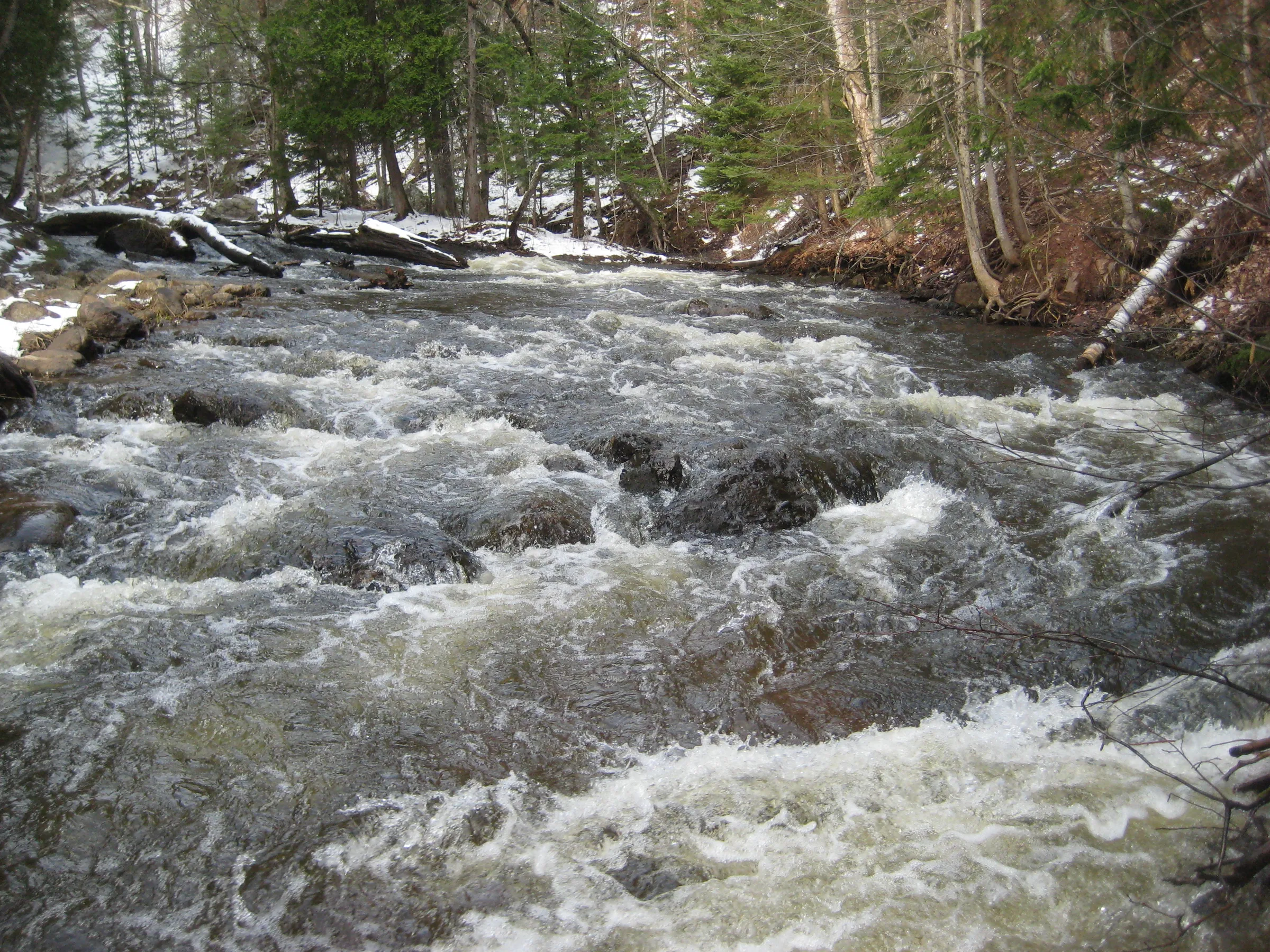
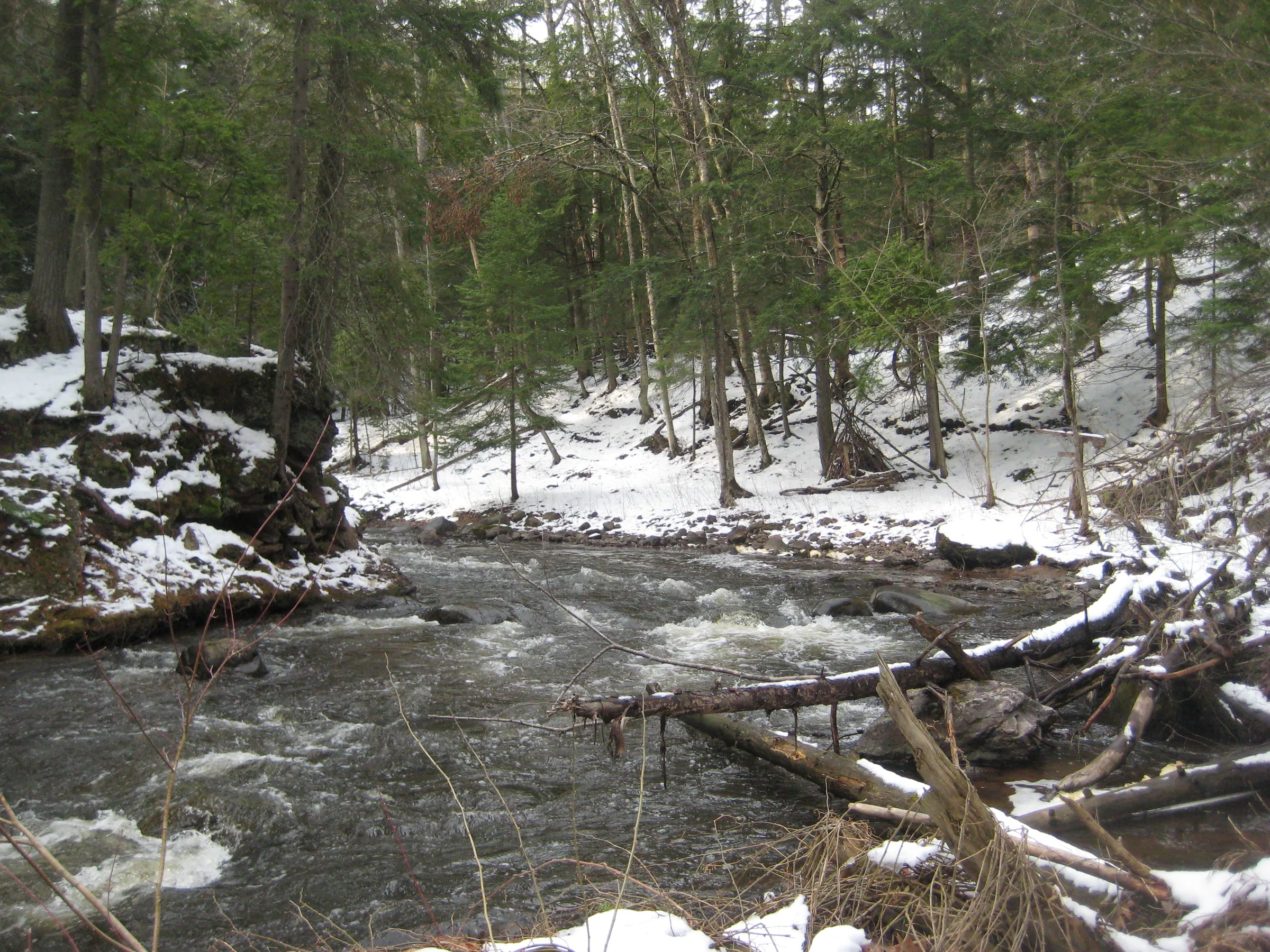
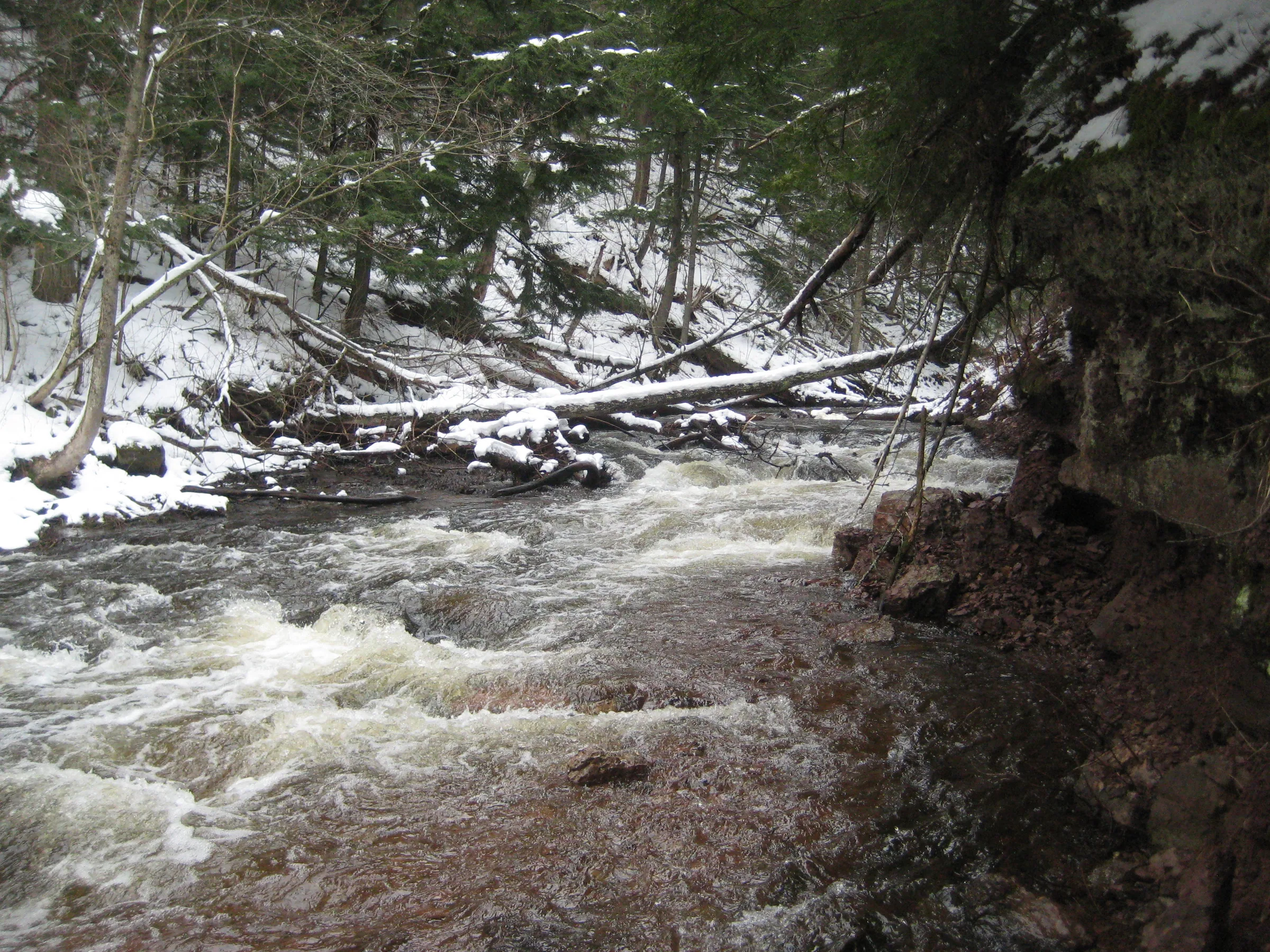
Marquette Mountain Falls, or Lower Carp River Falls, is little more than a set of rapids. Plenty of rapids line this stretch of Carp River (east of County Road 553), making it hard to pinpoint the named drops, and none of them are terribly impressive. A bike path winds it’s way around Marquette Mountain on the north bank and fisherman can usually be seen along the river, especially during the spring.
Directions
From the roundabout in Marquette where US-41 turns south along the shoreline drive 1.5 miles south, up the steepening hill. Turn right at Carp River Hill/Cliff Power/Mt Marquette Road and follow the dirt road about .7 miles, sticking to the left of the fork at .6 miles. Park here and follow the path(s) up the river. Plenty of small rapids line the river if you want to walk all the way to County Road 553, maybe a mile and a half to the west.
Photographs
Visits
Seen in April.
- deep and fast, but no real drops on this stretch
After an hour of tough river walking and passing by a handful of cross fishermen I gave up. There was no drops along this stretch more than a few inches tall. If there was a Marquette Mountain Falls, or Lower Carp River Falls, or whatever they were called, it was little more than a few sets of mild rapids. Carp River carved a deep gorge here lined with conglomerate rock and the fishermen's paths couldn't keep up with the changing terrain, so I headed down into the river and tried my luck on the slick riverbed.


Leave a comment