
Cascade Falls
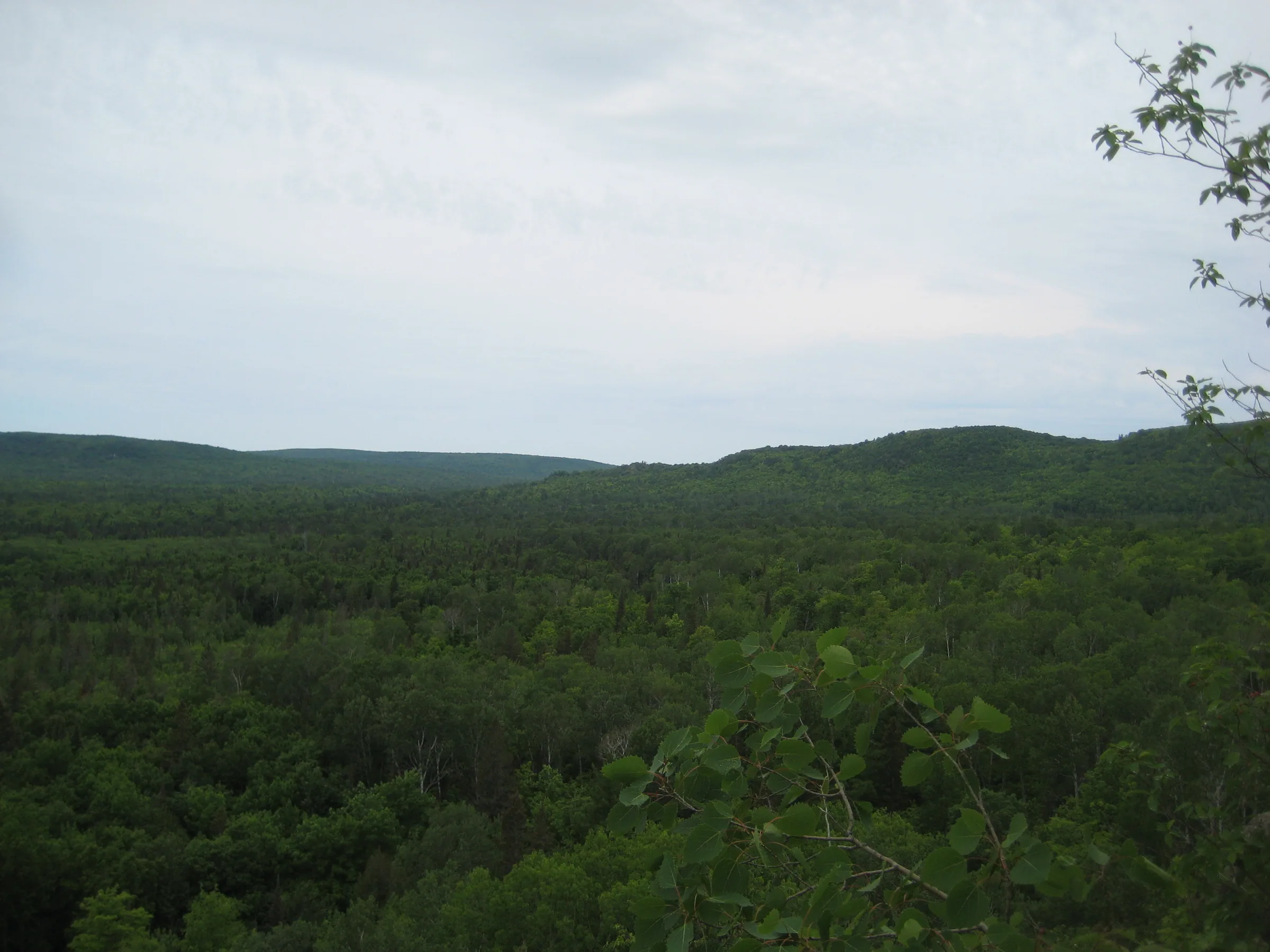
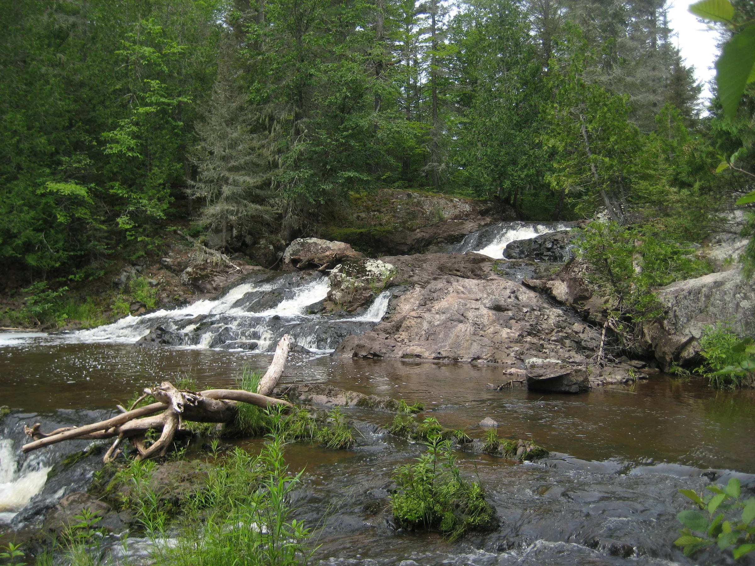
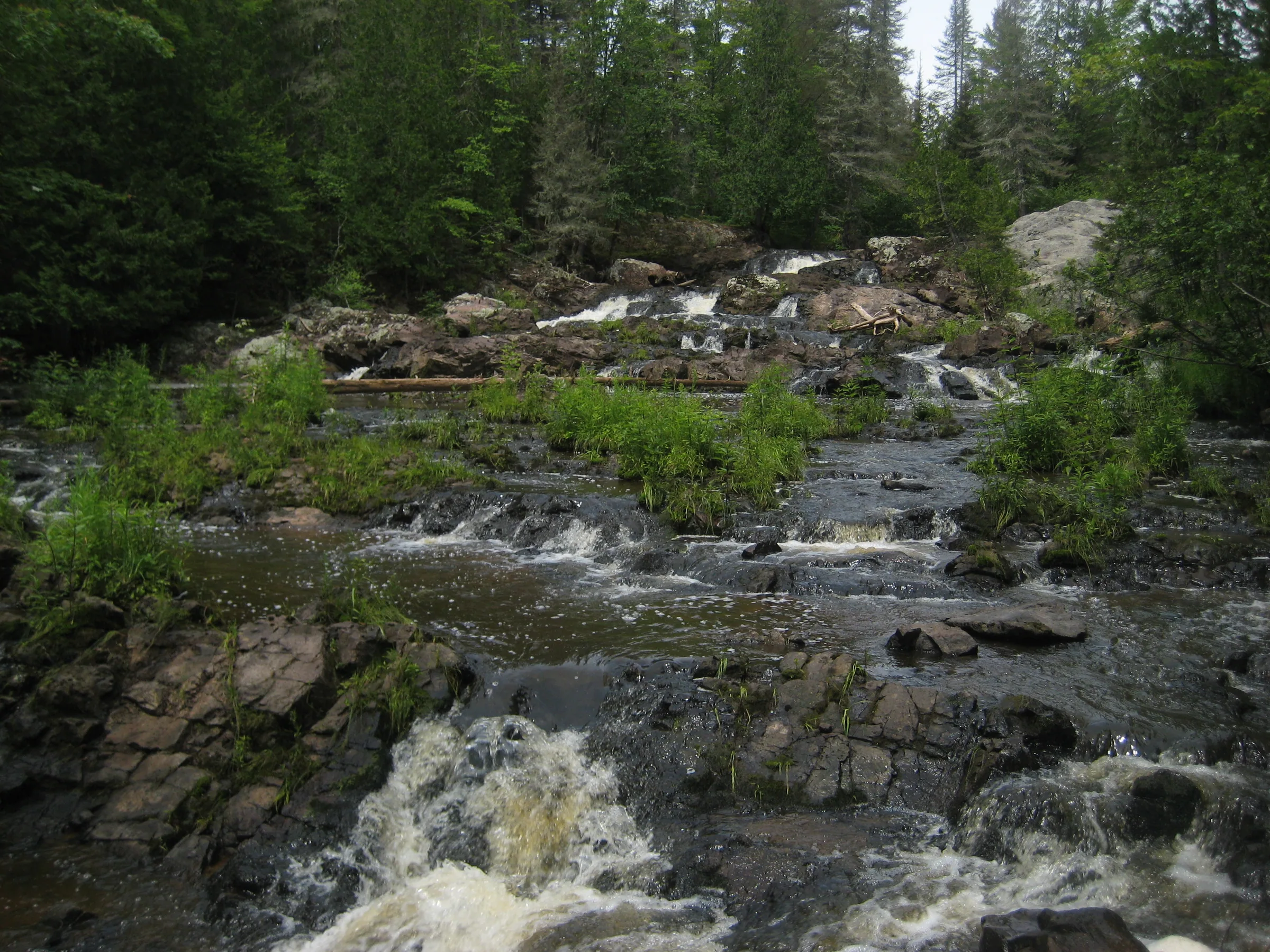
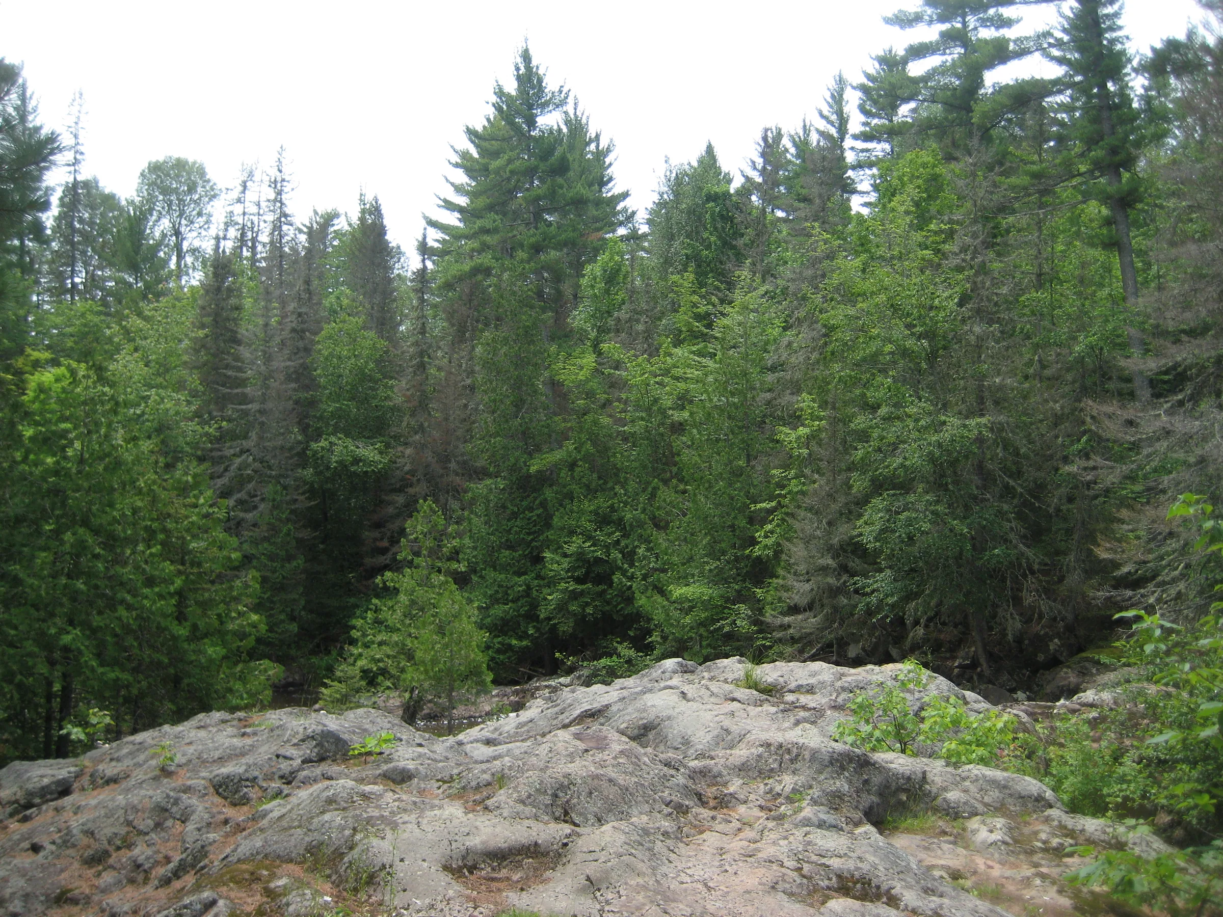
Before Cascade Creek flows into West Branch Ontonagon River it tumbles down a craggy volcanic outcropping, forming a scenic set of waterfalls in the Trap Hills area. Large, rocky hills lie to the northeast, with the trail to the falls offering a loop up to some fantastic views of the hilly area. The waterfall itself is along a mostly swampy creek, with huge cedars and plenty of black flies lining the banks.
Directions
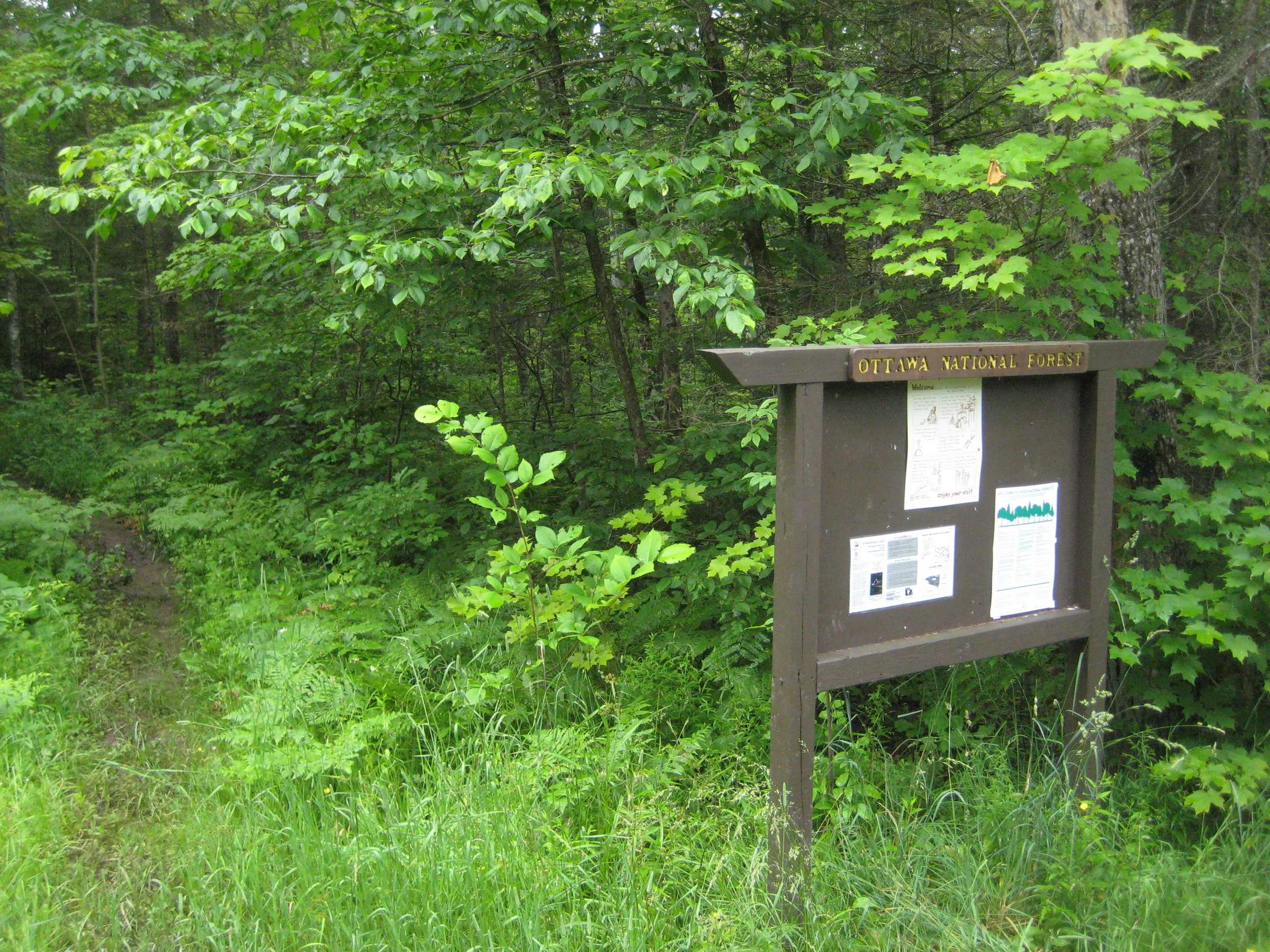
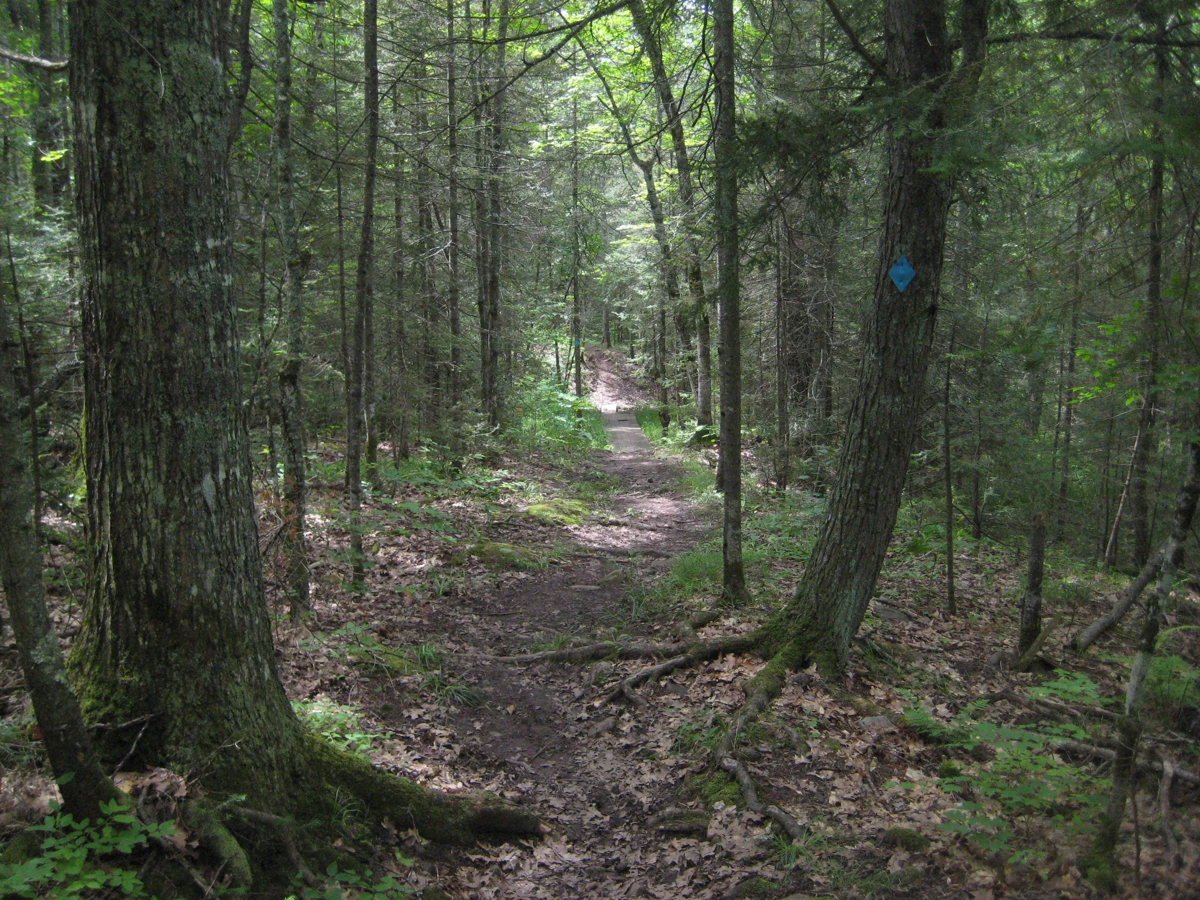
Heading in from Bergland, head east on M-28 for about a mile before turning north onto County Road 400. Take the dirt road northeast for 7.3 miles, turning at the sign for Cascade Falls just after crossing Cascade Creek. The parking area is about a quarter mile past the sign. Park here and follow the path near a big Ottawa National Forest sign to the falls. An ill-defined loop up a rock bluff to the left is worth tackling for the views of the nearby Trap Hills. Sticking to the main path will take you to the falls in less than twenty minutes.
Photographs


Leave a comment