
Tourist Park Falls
Access This waterfall only runs when the Tourist Park dam overflows, and a visitor in August 2026 reported the dam area rebuilt and no water reaching the rock at all. Expect a dry slab unless the basin is spilling.
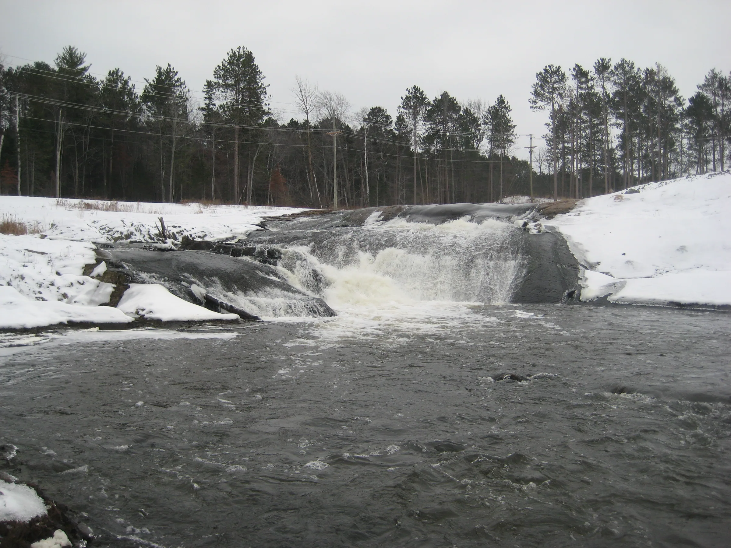
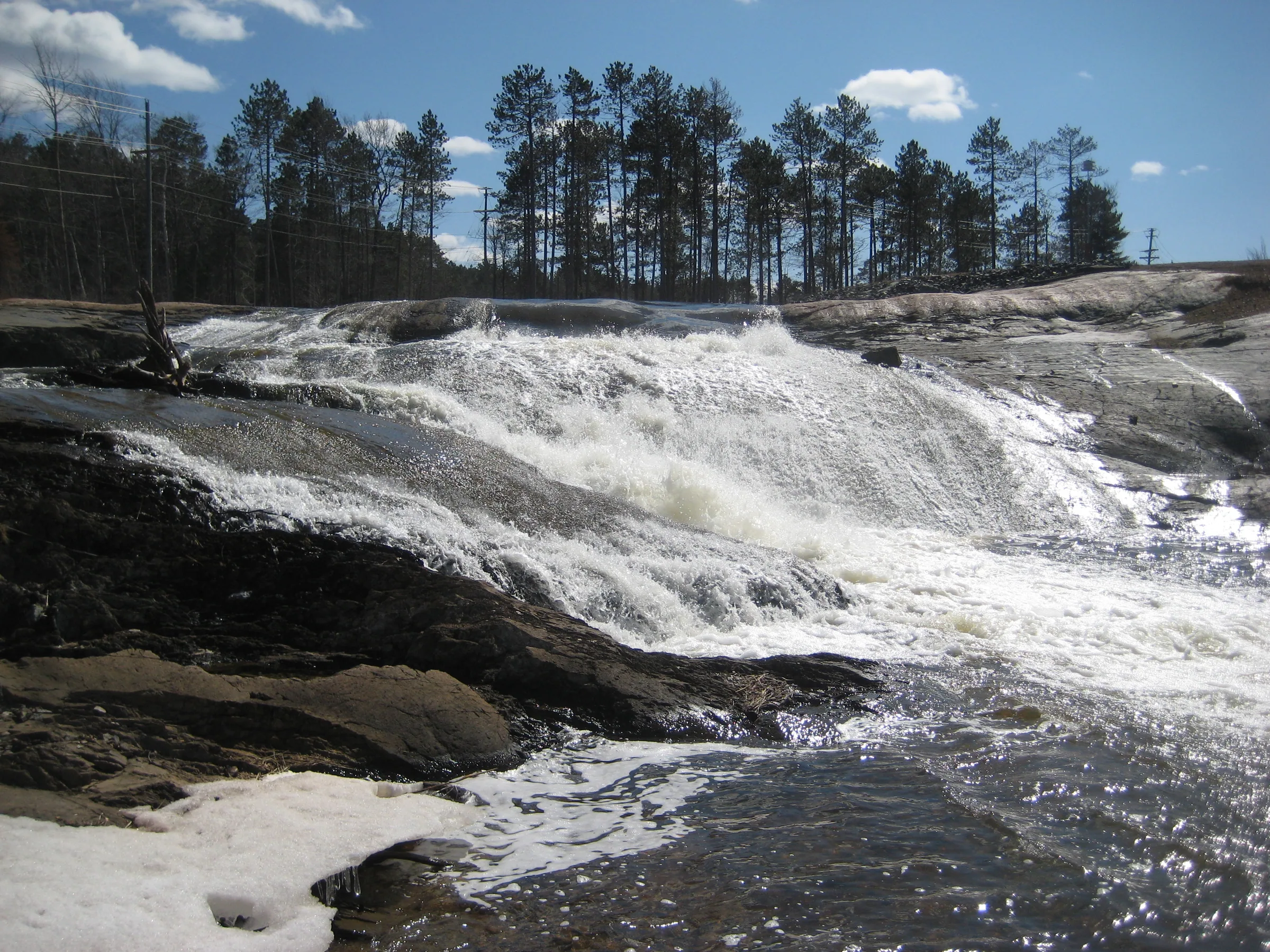
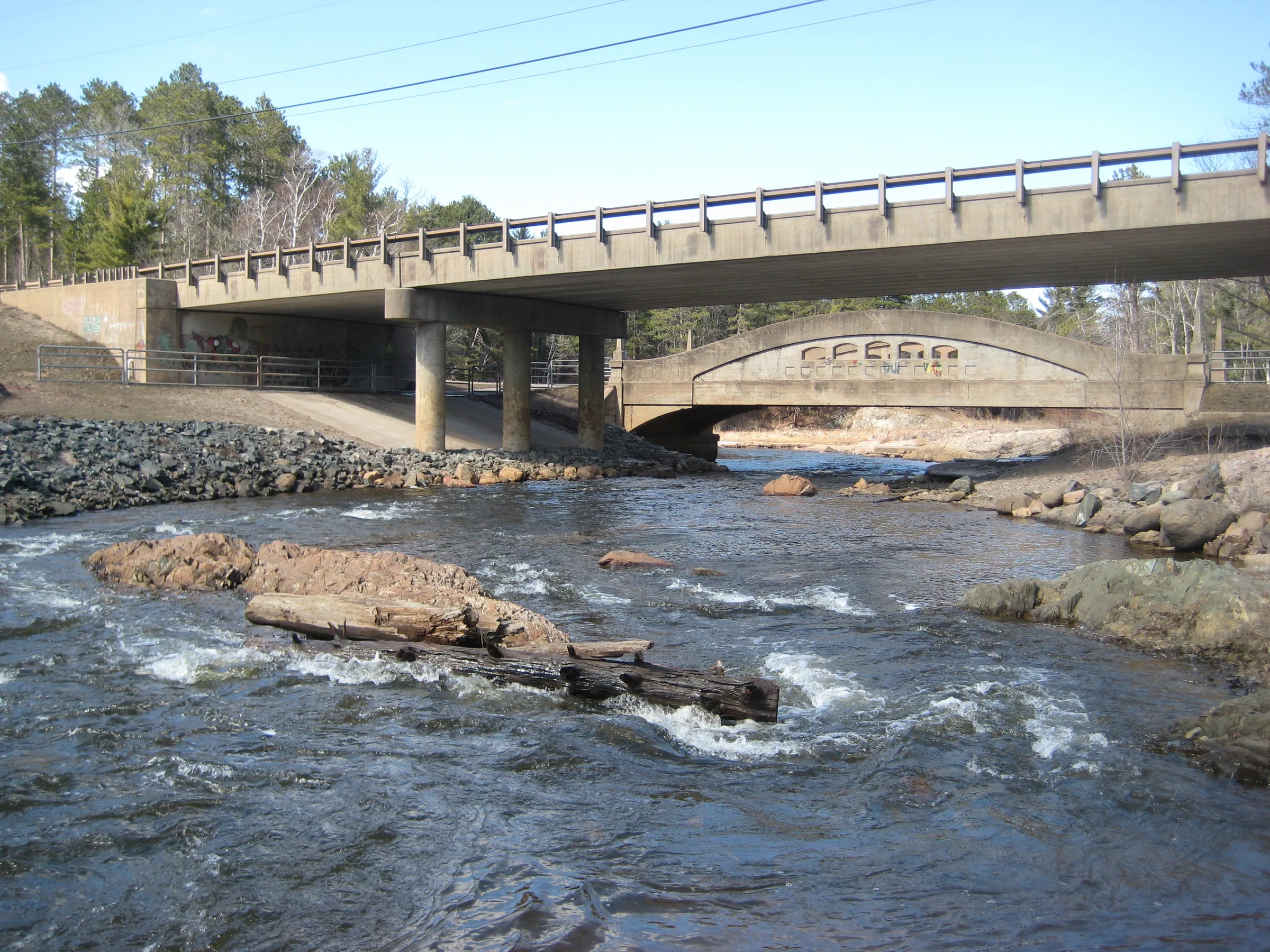
The last waterfall that the Dead River flows over is a surprisingly smooth one. A large outcropping, rounded and worn by the ages, creates a gentle sliding drop down its surface only breaking into white when an unexpected ledge or rock gets in the way. When the dam was out (from 2003 - 2012) this waterfall flowed year round, and after the basin was refilled it appeared only when the dam overflowed. In August 2026 a visitor reported that the dam area had been reworked and water no longer reached the rock, so the drop may now be gone for good. The photographs here are from the years the river ran free.
Directions
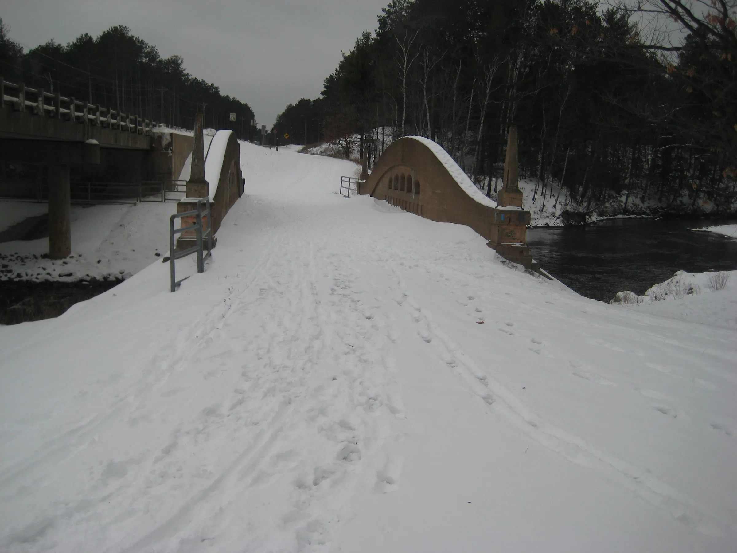
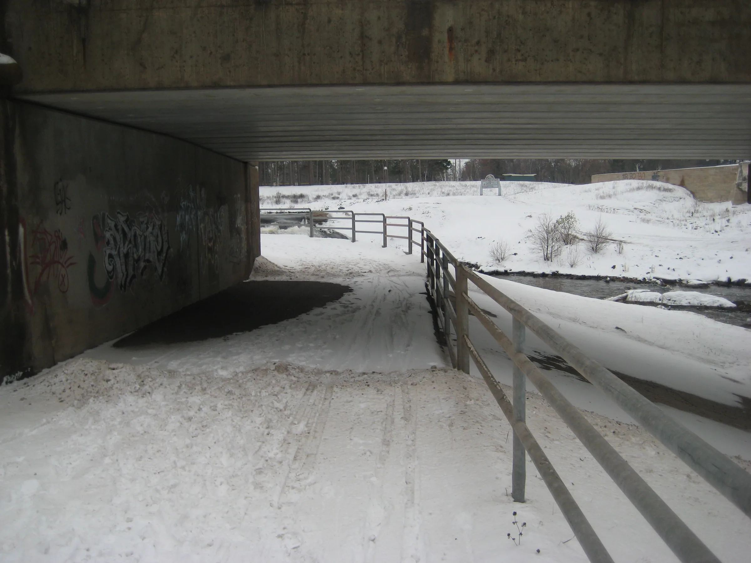
From Wright Street in Marquette turn north onto Sugar Loaf Avenue towards Tourist Park. Drive past the park and turn left after .5 miles onto County Road 550. Powder Mill Road is on the right side maybe .1 miles down, turn on it just to drive into the parking lot that parallels 550, down by the bridge over the Dead River. Follow the path under the road to the falls.
Photographs
Visits
Seen in April and November.
The short waterfall near Tourist Park Basin was churning along, water spreading over the smooth rocks and frothing over a few lips. It was hard to tell at this spot how much extra water was flowing down the Dead River today with how wide the drop is. We played around a little here, keeping Logan on a leash with so much traffic, enjoying the site of the busted dam.
Tourist Park Falls is the last drop on the Dead River before it flows into Lake Superior. Near the site of the old dam, water now flows over a huge and ancient rock well worn by the years; I've heard that this rock dates back to the Precambrian Era, some three billion years past. The smooth slide betrayed just how large these falls are, at least ten feet, and the water flowed wide and strong over.


Comments
1 comment
Certainly no longer any falls here. Looks like they re-did the dam area and water no longer flows here.
Leave a comment