
Lower Penn Falls
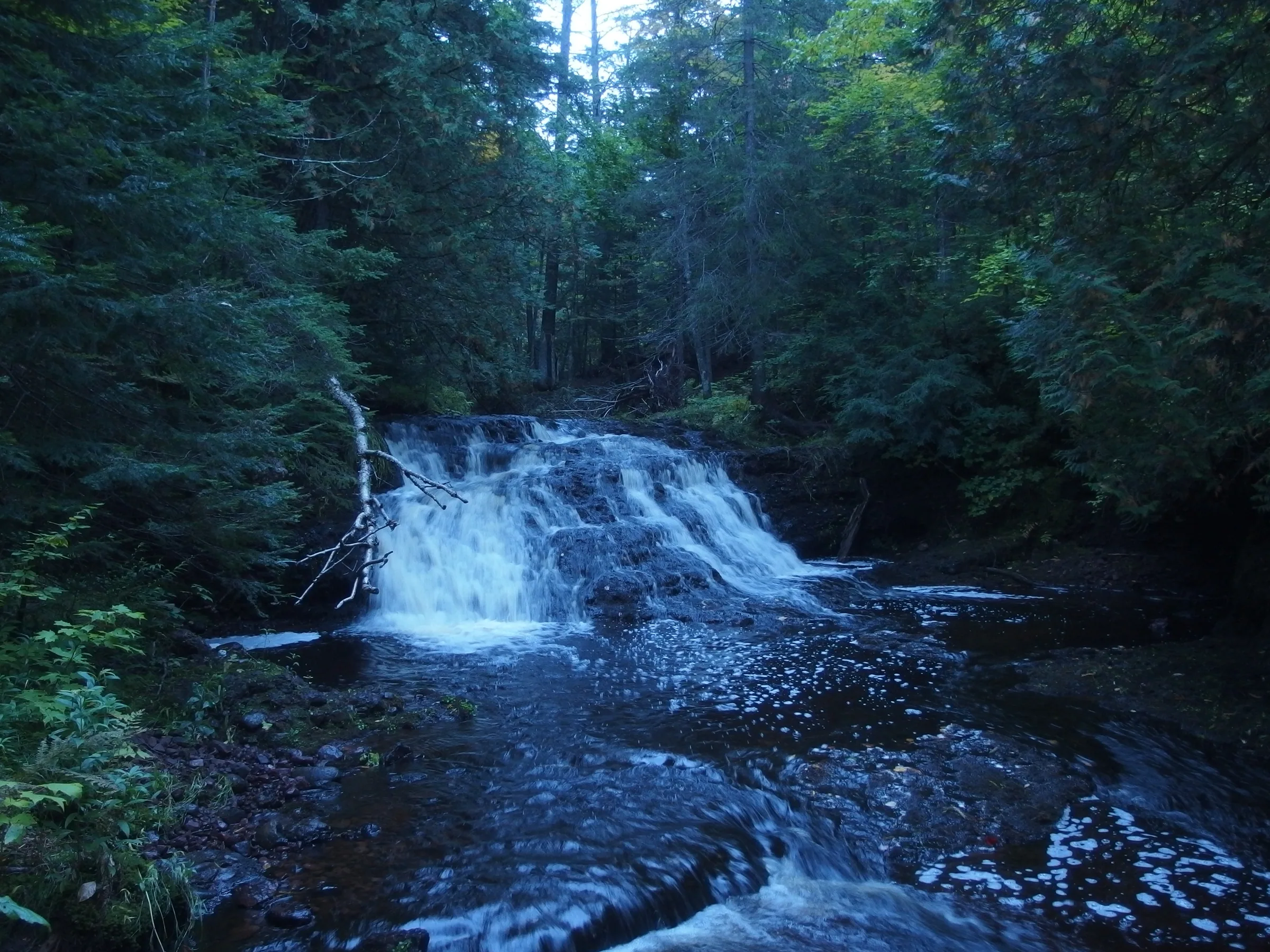
The Firesteel River is known to be one of the Upper Peninsula’s slower rivers with a deep and meandering valley carved through the dirt and conglomerate around Lake Mine and Rockland. Two hidden drops sit on one of its branches, though, a few dozen yards from each other. The lower falls makes a somewhat sudden cascade down a small drop of rock.
Directions
From the Lake Mine corner of M-26/M-38, head north about four miles. There will be a track leading to the right that connects with the Bill-Nichols ATV trail. It’s a bit hard to pick the correct track, but it is in good shape and will wind for about a half mile through a decent forest before coming out on the well-maintained Bill-Nichols. Either park or drive to the left for 1.5 miles down Bill-Nichols (driving is discouraged, unless you have the proper stickers/vehicle) to an unmarked two-track that heads to the right. Follow this track for a few hundred yards and take the first main fork to the right. It will run straight into East Branch Firesteel below the lower falls.
Photographs


Comments
2 comments
Again, forgive me, but I believe this photo is Upper Penn Falls...
So switched. Thanks!
Leave a comment