
Lake Sally Falls
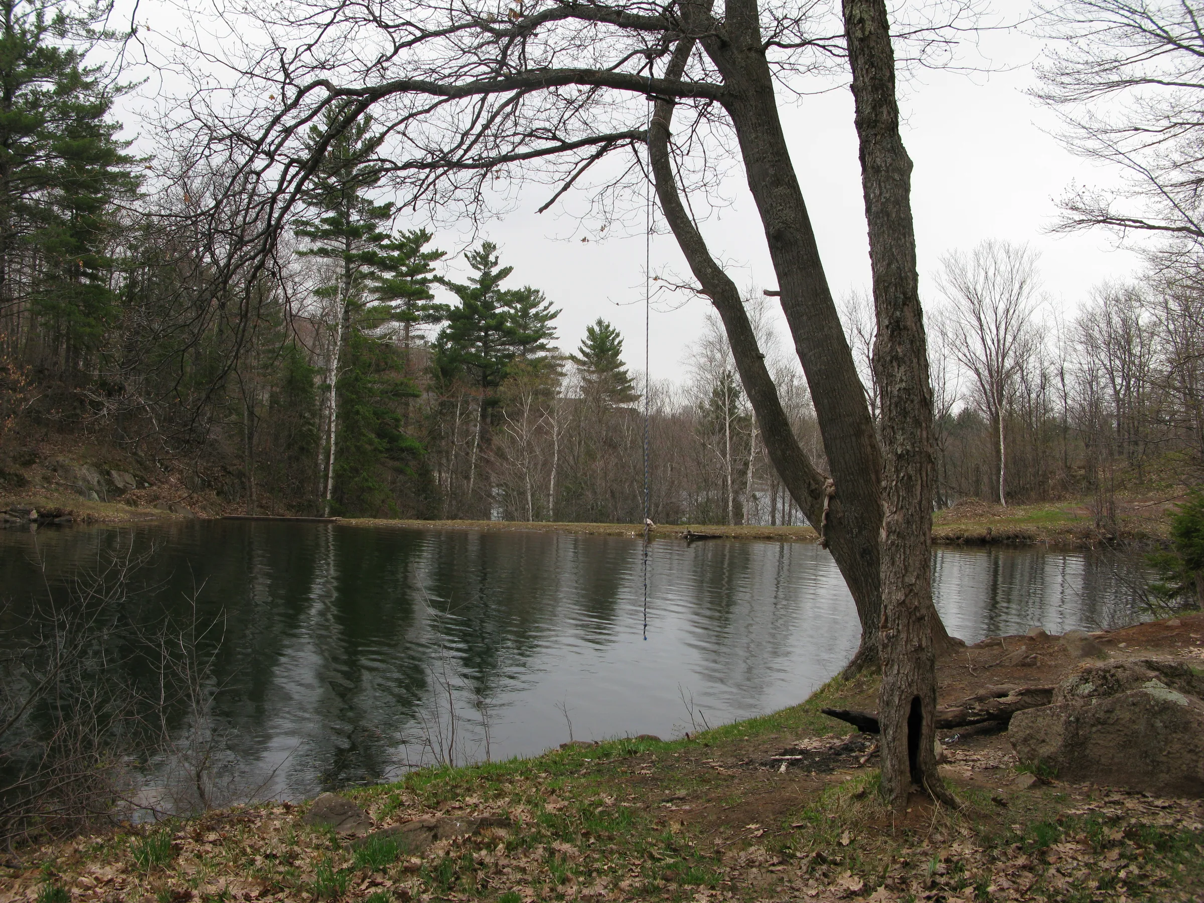
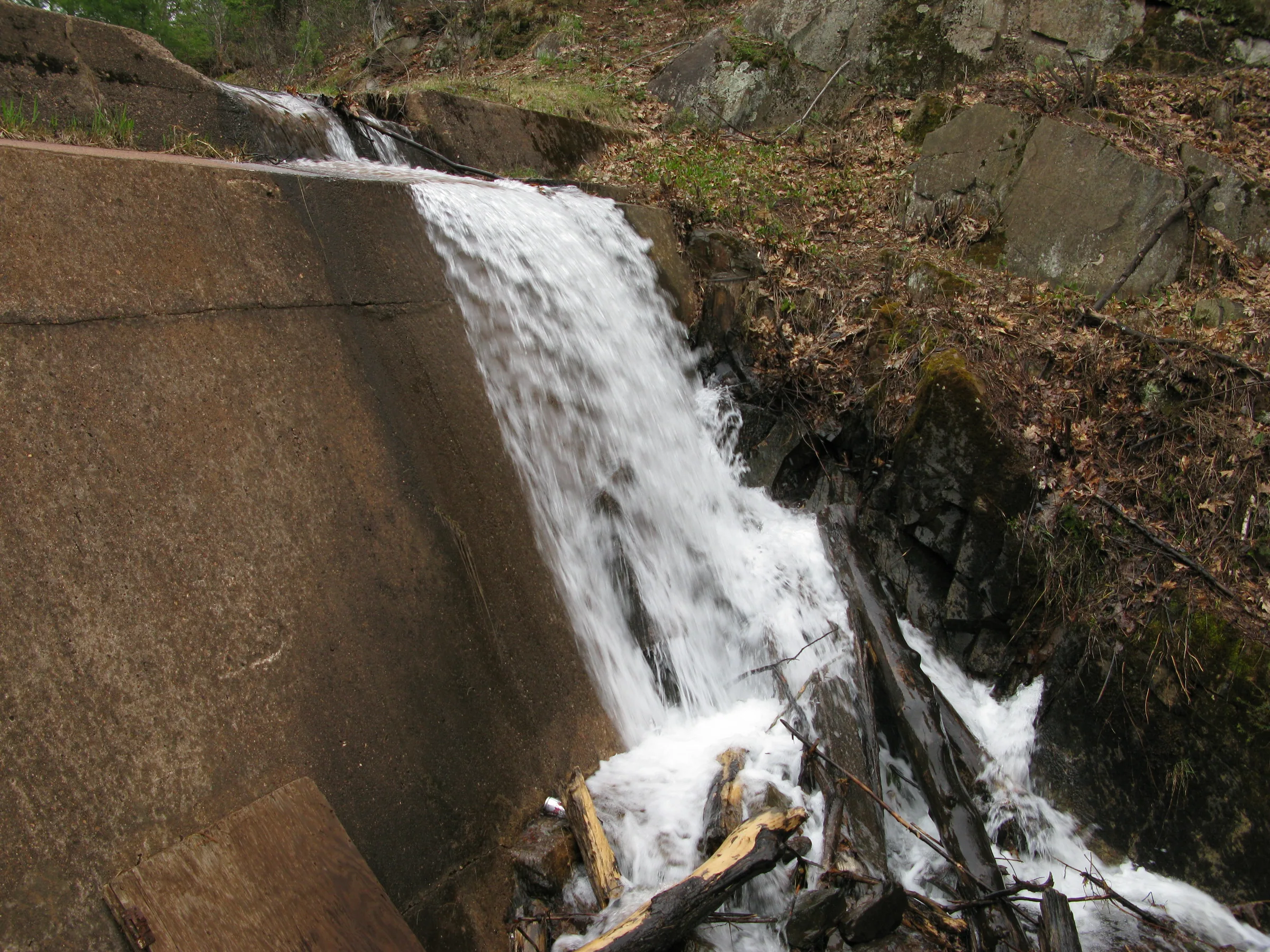
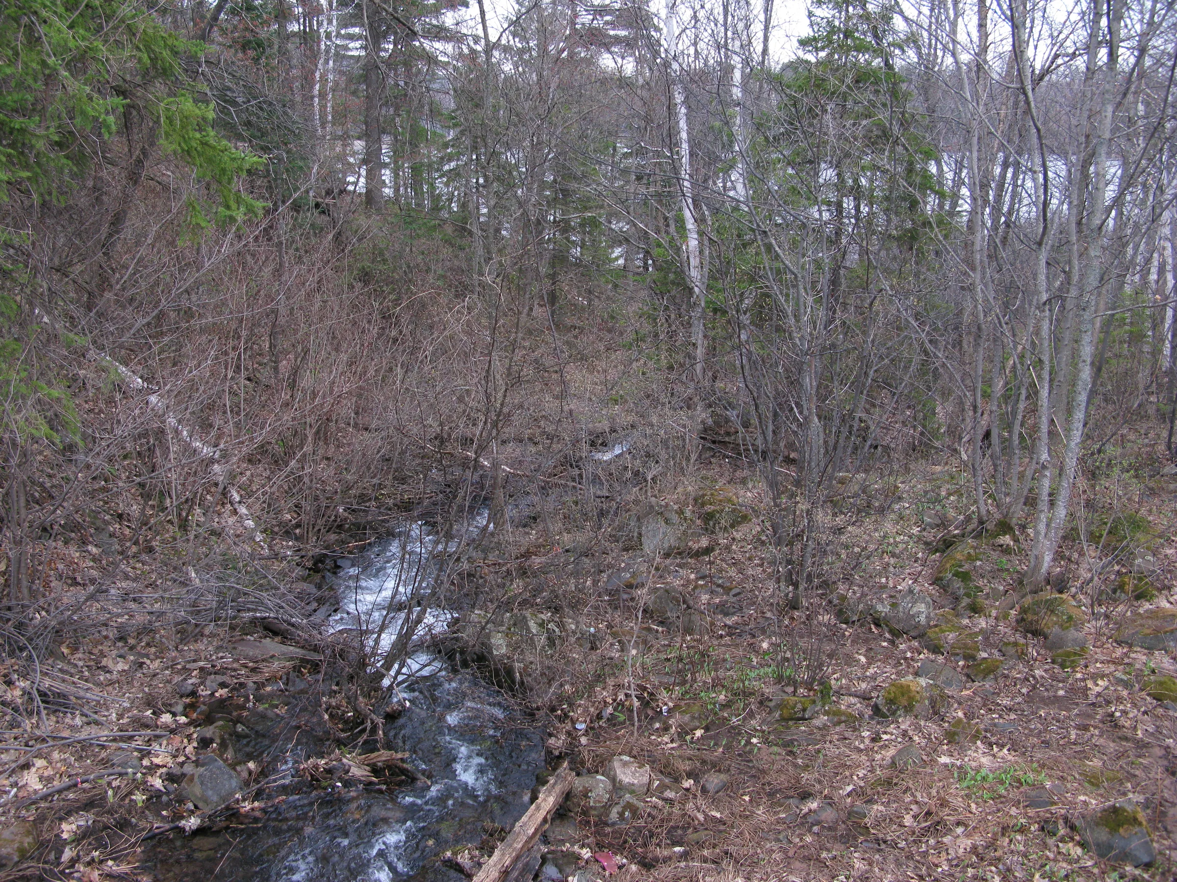
Lake Sally Falls empties the waters of the Tilden Lakes into the last body of water, Grass Lake, before Ely Creek begins to circle around the mine on its southern journey. This drop is mostly a smooth pour over a cement dam, though there are some rocks and rapids near the base. The dam is just tall enough to backfill Lake Sally and merge its waters with Lake Ogden in the east. A decent sized campsite sits on the bank here with a rope swing into the deep waters nearby.
Directions
Turn down Suicide Bowl Road from County Road 288 and drive past the ski jump area. Continue driving down the increasingly potholed road as far as your car will tolerate, then park off one of the drives and continue on foot. Be sure to park well out of the way, as these drives and trails are well-used by many for biking and hiking and more. Stay on the paved drive until Lake Minnie comes in site.
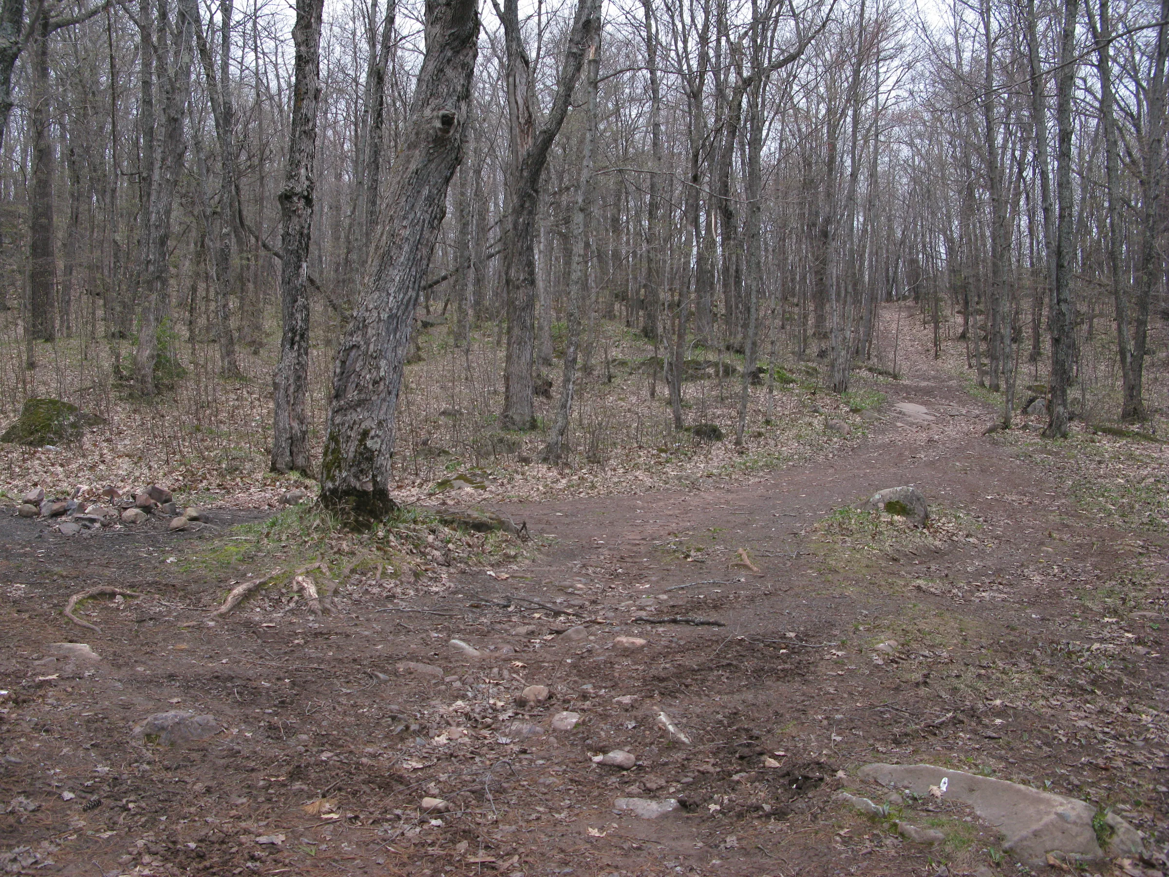
Take the paths around the north side of Lake Minnie, leaving the nice paved drive behind, walking over the large sandy beach and up the hills on the far side until you come out on the open cleared strips of power lines. Head west/southwest under the powerlines past Lake Minnie and over a dramatic drop east of Lake Angeline. After passing the tallest point along the strip, where the microwave panels are, head on the path to the left and cut right down the fork a short distance into the woods. Stay on the right fork as it drops down towards Lake Sally and leads straight to the dam and falls.
Photographs


Leave a comment