
Silver Lead Falls
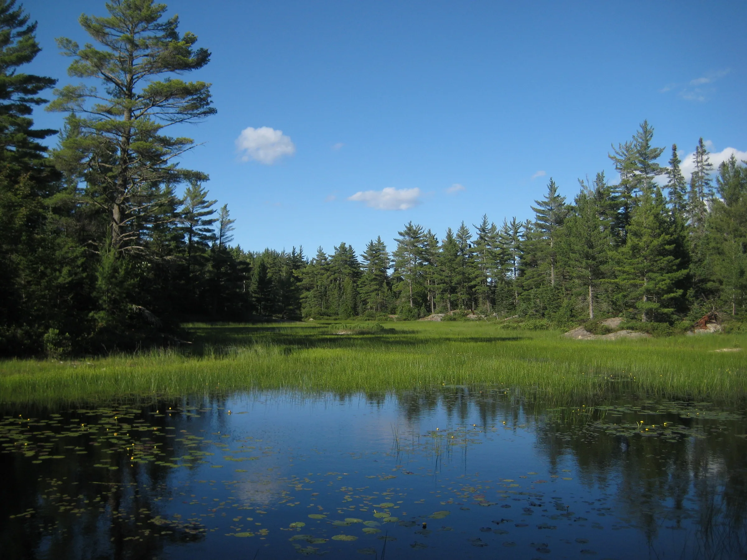
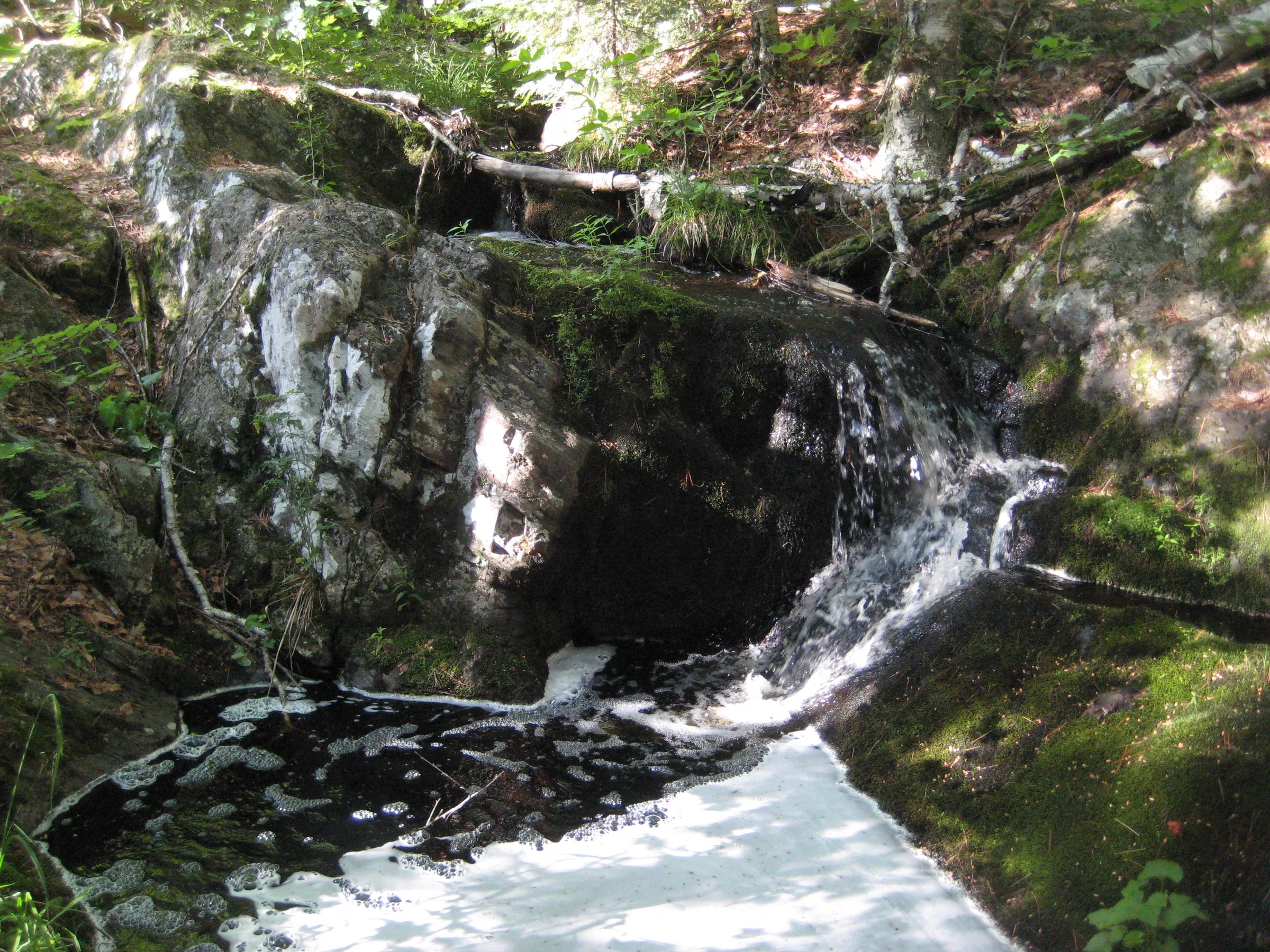
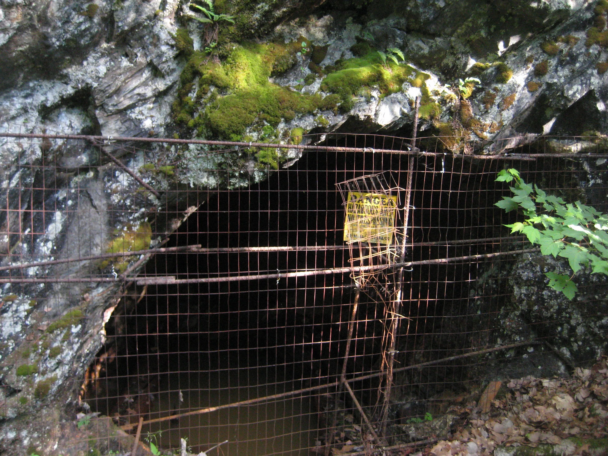
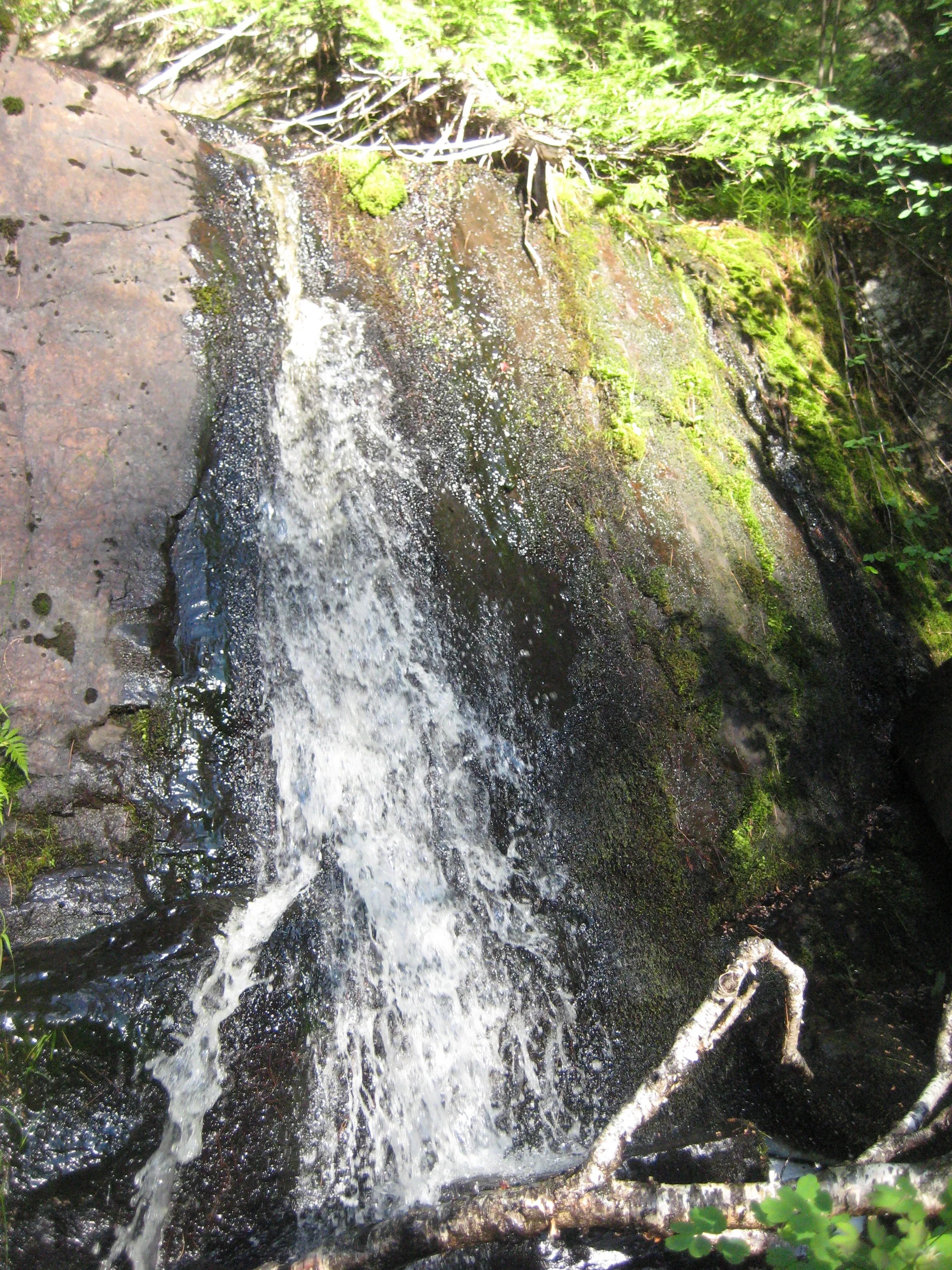
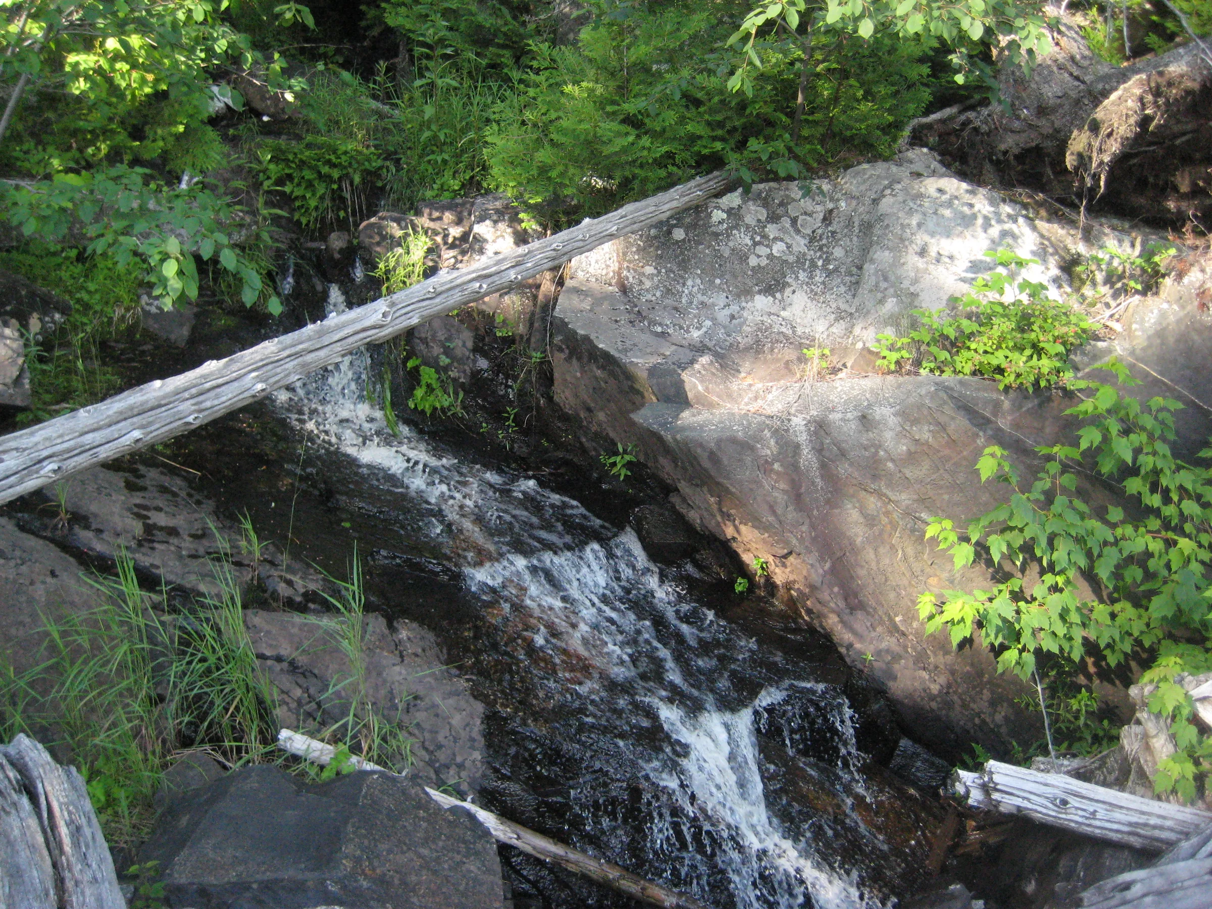
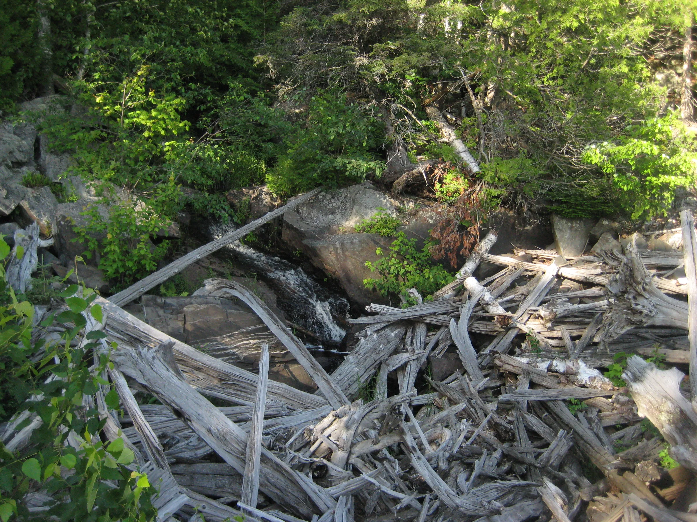
The Silver Lead Mine Lakes drain over stubborn rock outcroppings down to the Silver Lake Basin over a series of stubborn rock outcroppings and cracks. Once the site of a promising, if short-lived, mining venture, there are several old gated shafts nearby that form interesting side destinations.
Directions
Head north on County Road FX (or Wolf Lake Road) from US-41 for 8.7 miles until the road starts to curve west up past Brocky Lake. Turn right on Grapevine Road, following it’s loop for 1 mile before turning left at the fork. Take a right at the fork at .3 miles. Keep on this ‘main’ dirt road for 5.3 miles before turning right down a small track that leads over to the Dead River’s inlet to Silver Lake Basin. Park at the camping spot.
Follow the track across the river on foot, walking along the western end of the basin. The track gives out after less than a half mile, continue on the shoreline until you bump into Wildcat Canyon Creek. Follow this creek up the hill, past (most) of the waterfalls. The North Country Trail crosses the creek before the uppermost drops. Take this trail to the right, now on the north side of the basin, and follow it past Cole’s Creek and to Silver Lead Lakes. If you can’t find the trail or lose it at any time just head down the hill and follow the shoreline to the jumble of logs that marks the beginning of the overflow creek.
Photographs


Leave a comment