
West Branch Falls
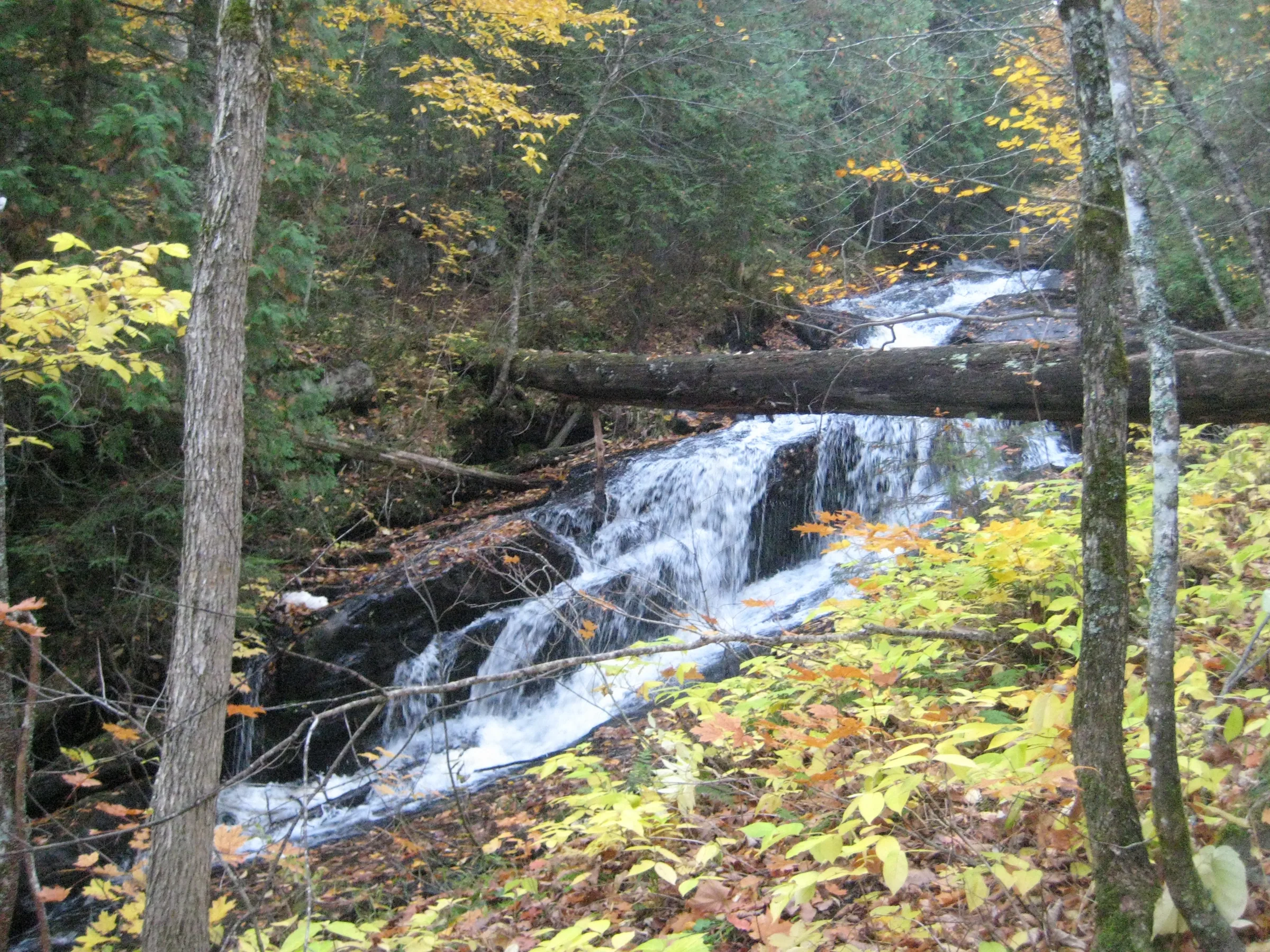
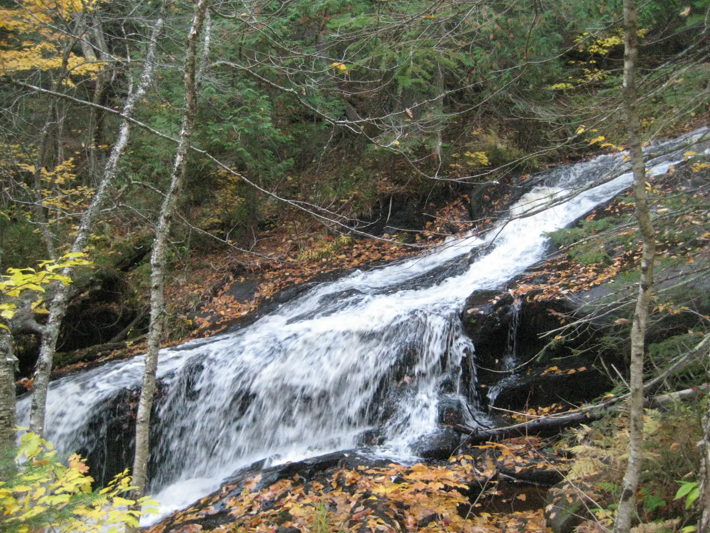
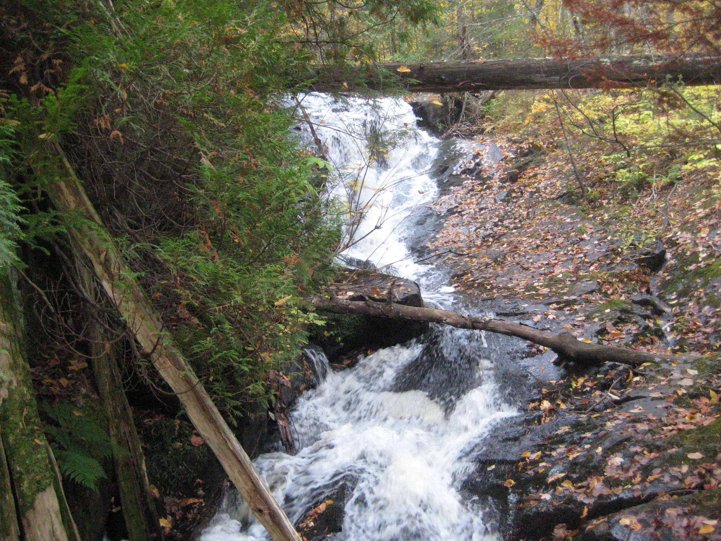
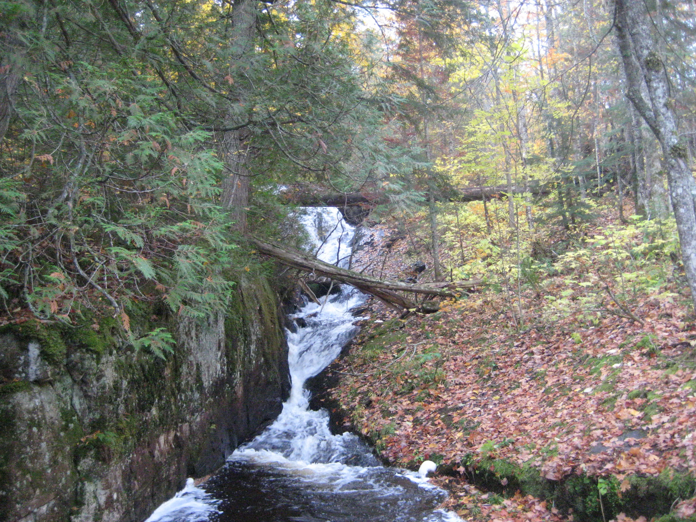
Unlike Bulldog Falls, its counterpart to the east, West Branch Falls does not empty a series of famous lakes. Instead, this waterfall drains some swamps northwest of Bulldog Lake in a tall, sudden chute of foaming water. The river cuts deep between two layers of rocks, eroding away at the base of a rocky outcropping while sliding along the flat slab.
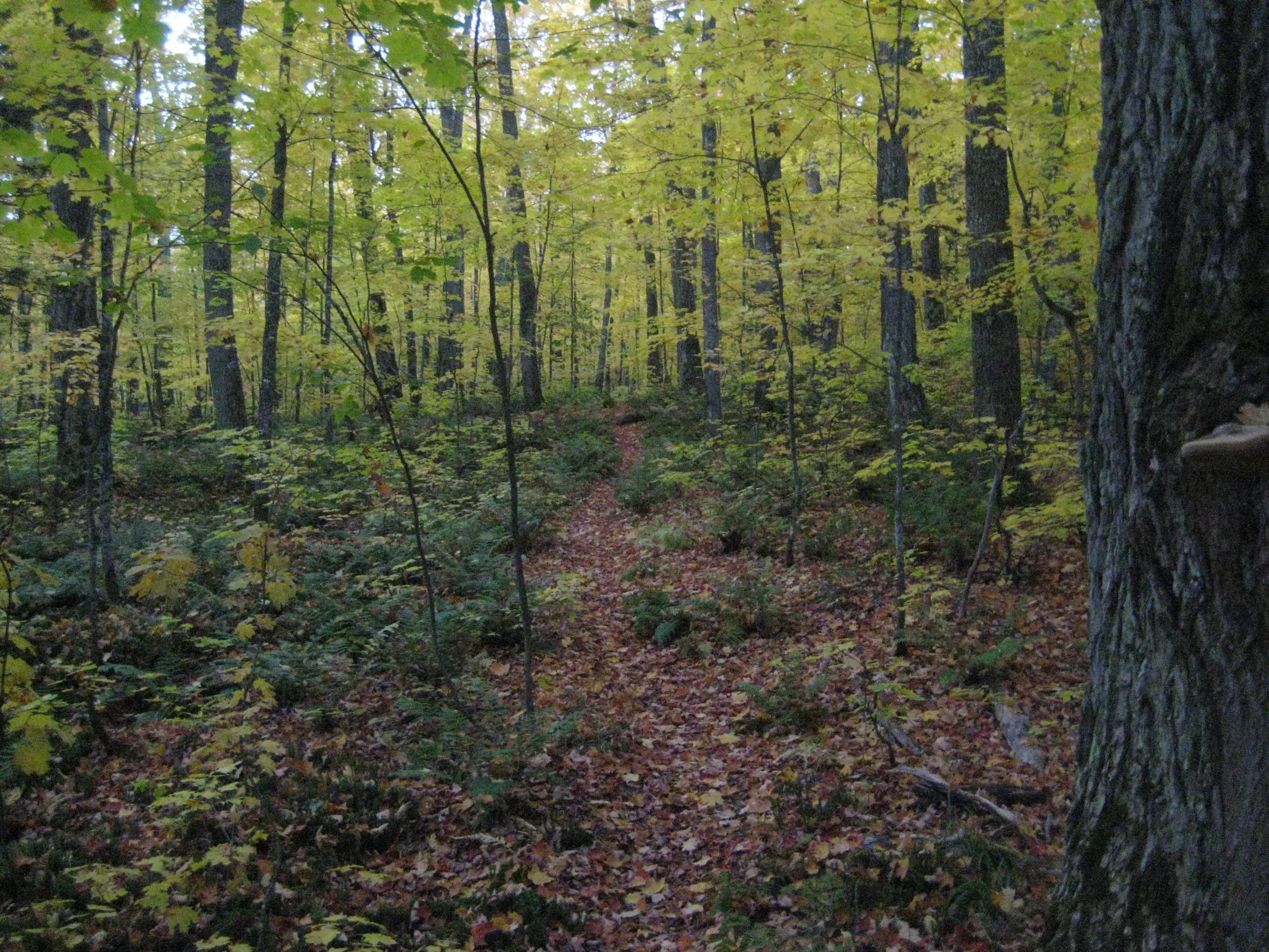
This waterfall sits in a designated wilderness area, a short distance from the northern trailhead. The McCormick Tract does not allow marked roads or trails, and only the footfalls of previous visitors track the path in from the parking area.
Directions
Take the AAA Road west from Anderson’s Corner, which quickly bends southwards. Continue south on Ford Road (AAA veers west after a half mile) and take a short right turn 2 miles from Anderson’s Corner into a small parking area with signs for the Ottawa National Forest.
Follow the trail leading east, just left of the big forestry sign, until you bump into a river. West Branch Falls should be audible, a short distance upstream. Follow the river up to view the large falls. To continue on to Bulldog Falls, double back to the trail and continue east over the river.
Photographs
Visits
Seen in October.
A faint noise drifted in from the right, down from the steepening hillside, beckoning us upriver, and a short walk up brought us right to the base of an impressive sliding waterfall. West Branch Falls slides down a slab of smooth rock bumping into a hard protrusion on the east bank. It's tall yet not steep for most of the slide, with a single prominent plunge near the top. There was a log precariously perched above the plunge, a tempting point to cross, but the thick layers of moss and giving wood did not promise a safe passage.


Comments
2 comments
This was actually my favorite hike. For reals. I can't even lie about it.
Agreed. I'm kinda hesitant on going back in fear that it won't be as cool the second time.
Leave a comment